
Nepal And Japan: Two Nations Shaped By Difficult Geography, Two Tragedies That Entered History
Nepal and Japan face very different but serious geographical risks. Japan is exposed to earthquakes, tsunamis and volcanoes, while Nepal faces landslides, glacial floods and extreme weather. After the August 26 Rasuwa disaster, TU expert Dr. Basanta Raj Adhikari estimated its gravitational energy exceeded that of the Hiroshima atomic bomb. The disaster has so far killed 1,357 people, with 5,326 still missing.
· 8 min read
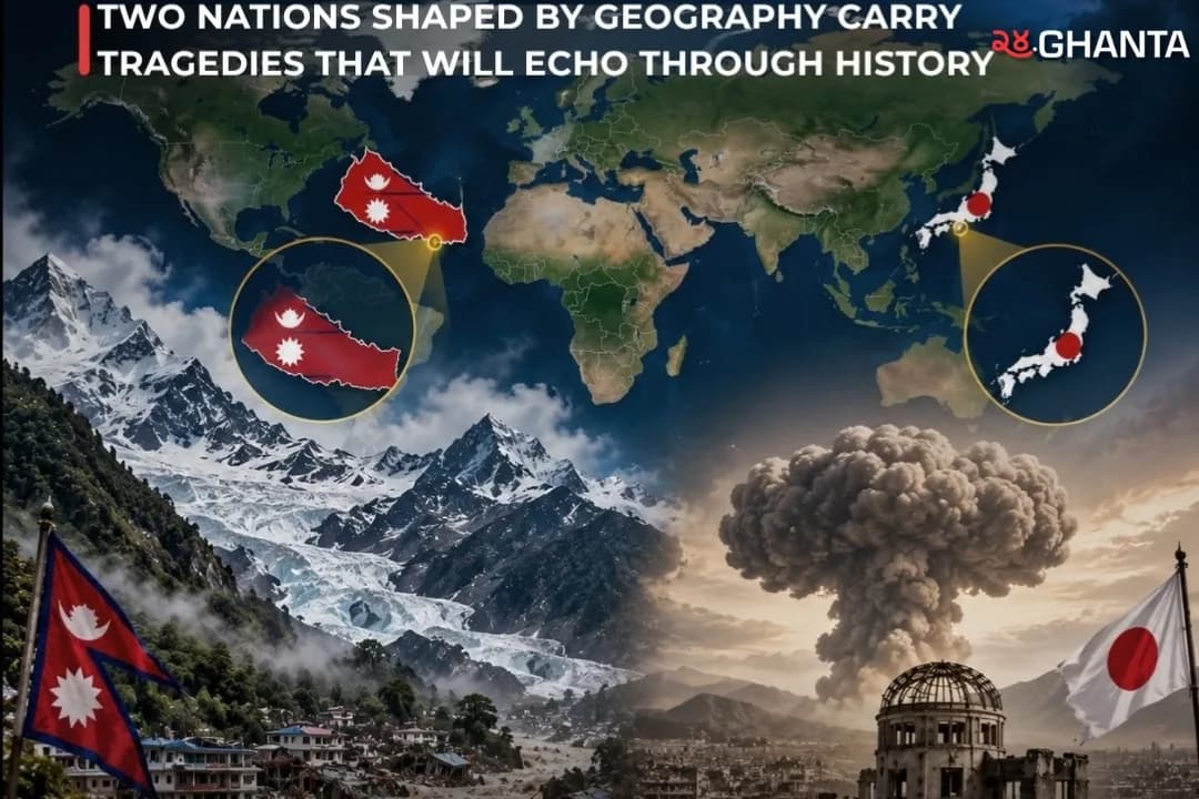
Kathmandu, 8 September 2026: Nepal and Japan sit thousands of kilometres apart and face very different natural environments. Yet both countries live with geography that can turn extreme events into national disasters.
Japan is an island nation located near some of the world’s most active tectonic boundaries. Nepal is a landlocked Himalayan country built across young, steep, and geologically active mountains. Japan lives with the constant threat of earthquakes, tsunamis, and volcanic eruptions. Nepal faces earthquakes, landslides, avalanches, glacial floods, and powerful river disasters.
The comparison has become especially striking after the catastrophic Bhote Koshi and Trishuli flood of August 26, 2026, which devastated parts of northern Nepal. But any comparison with Hiroshima needs an important distinction: Hiroshima was not a natural disaster caused by Japan’s geography. It was the result of an atomic bomb dropped by the United States during World War II. The connection between Hiroshima and Rasuwa is therefore not their cause, but the scale at which separate tragedies can become permanently embedded in a nation’s collective memory.

Rasuwa 2026: A Disaster Born High In The Himalayas
The August 26 disaster began high in the Lhende catchment near the Nepal-China border. Later technical assessments described the source as a major rock and ice avalanche, rather than simply a conventional glacial lake outburst flood.
Satellite analysis cited in a rapid hazard assessment placed the source at roughly 5,000 to 5,200 metres above sea level. A mass of glacier ice and underlying bedrock approximately 1 to 1.3 kilometres across detached from the mountain and fell toward the valley below 3,000 metres. The falling material picked up more debris, temporarily blocked the Lhende Khola, and then released a powerful mixture of water, sediment, rock and boulders downstream.
The flood reached Rasuwagadhi at about 8:44 a.m. Nepal time, only minutes after the major seismic impact associated with the collapse. Upper reaches of the flow were estimated to have moved faster than 30 metres per second, or more than 100 kilometres per hour. The destructive flow then travelled through the Bhote Koshi and Trishuli river system, with reported effects extending more than 130 kilometres toward Mugling.
This is where Nepal’s geography became a major part of the disaster. Mountain valleys naturally channel water, rocks and debris into narrow corridors. Settlements, roads, bridges, hydropower stations and border infrastructure are often built along the same river valleys because flat land is limited.
The Human Cost Continued To Rise
The numbers changed rapidly as rescue teams reached previously inaccessible areas.
According to the latest live disaster update, the Rasuwa flood and landslide disaster has so far caused 1,357 confirmed deaths, while 5,326 people remain missing. Authorities have rescued 13,583 people and moved them to safer locations, while 6,827 injured people are receiving treatment at different hospitals.
A total of 21,402 security personnel from the Nepal Army, Nepal Police and Armed Police Force have been deployed in ongoing search and rescue operations.
The disaster also damaged homes, roads, bridges, power facilities and other critical infrastructure across Rasuwa, Nuwakot, Dhading and downstream districts. Government assessments were still continuing, meaning final casualty and economic loss figures could rise or change.
Why Nepal’s Geography Creates Such Serious Risk
Nepal lies where the Indian tectonic plate pushes against the Eurasian plate, the same geological collision that created the Himalayas. This makes the country highly vulnerable to earthquakes, while its steep terrain also increases landslide risk.
A World Bank assessment says more than 80 percent of Nepal’s population is at risk from at least one major natural hazard, including earthquakes, floods, landslides, extreme temperatures and drought. It also notes that mountainous areas are vulnerable to glacial lake outburst floods and that climate change is expected to increase some flood risks.
The Himalayas add another problem. They contain thousands of glaciers and glacial lakes at high elevations. When ice, rock, or water suddenly moves downhill, gravity can transform it into a high-speed, destructive flow before downstream communities receive enough warning.
ICIMOD has warned that cryosphere-related hazards are becoming increasingly important across the Hindu Kush Himalaya. Its research has linked warming temperatures with expanding glacial lakes and growing downstream risks.
That does not mean every glacier collapse can automatically be blamed entirely on climate change. In the Rasuwa case, technical assessments say glacier retreat and warming permafrost may have contributed to slope instability, but a definitive climate attribution for this specific collapse has not yet been established.
Japan: A Different Geography, A Different Set Of Threats
Japan’s disadvantage comes from a completely different geographical setting.
The country is an island chain situated near several active tectonic plates around the Pacific. This is why Japan regularly experiences earthquakes and why large offshore earthquakes can generate destructive tsunamis. Its tectonic setting also produces significant volcanic activity.
Japan’s Meteorological Agency explains that earthquakes and volcanic activity are closely connected with the movement of Earth’s tectonic plates.
Unlike Nepal, where many disasters move through steep mountain valleys, Japan must prepare for threats coming from below the ground, from volcanoes and from the surrounding ocean.
Its island geography also means large parts of the population and infrastructure are concentrated along coastal areas, making major tsunami events particularly dangerous.
Hiroshima Was Different
Hiroshima should not be presented as a consequence of Japan’s difficult geography.
At 8:15 a.m. on August 6, 1945, during World War II, the United States dropped the uranium atomic bomb known as Little Boy over Hiroshima.
The bomb had an estimated explosive yield of about 15 kilotons of TNT, or the equivalent of approximately 15,000 tons of conventional TNT.
Hiroshima had an estimated population of around 3,50,000 at the time. Hiroshima City estimates that approximately 1,40,000 people had died by the end of December 1945, although the exact number will never be known. Many died immediately, while others died later from burns, injuries, and radiation effects.
The bombing destroyed much of the city and became one of the defining events of the nuclear age.
One was a deliberate wartime nuclear attack.
The other was a cascading high-mountain natural disaster involving glacier ice, rock, water, and debris.
Did The Rasuwa Disaster Release More Energy Than The Hiroshima Bomb?
According to Dr. Basanta Raj Adhikari, Director of the Centre for Disaster Studies at Tribhuvan University’s Institute of Engineering, the enormous rock and ice avalanche that triggered the August 26 Rasuwa disaster released gravitational energy greater than the explosive energy of the atomic bomb dropped on Hiroshima in 1945. Adhikari estimated that more than 300 million cubic metres of rock and ice collapsed from high in the Himalayas, with researchers reporting a vertical fall of roughly 1,400 metres before the mass transformed into a destructive flow of water, rock, ice and sediment. The Hiroshima bomb had an estimated explosive yield of about 15 kilotons of TNT, equivalent to roughly 63 trillion joules. The comparison, however, refers only to estimated energy: Hiroshima was a human-caused nuclear attack during World War II, while Rasuwa was a massive natural mountain disaster driven by gravity. Adhikari’s calculation has been reported by international media, but should be attributed to him because a peer-reviewed post-disaster study detailing the complete calculation has not yet been identified.
Two Countries Where Geography Shapes National Risk
The stronger comparison between Nepal and Japan is therefore geographical vulnerability rather than Hiroshima versus Rasuwa alone.
Nepal: landlocked, extremely mountainous, earthquake-prone, steep river valleys, glaciers, landslides, avalanches, and limited transport routes through difficult terrain.
Japan: island geography, active tectonic boundaries, earthquakes, tsunamis, volcanoes and major population centres exposed along coastal areas.
Both countries have developed societies in landscapes where geography can quickly become a threat.
But geography does not make disaster inevitable.
Japan has spent decades strengthening earthquake-resistant construction, tsunami warnings, evacuation systems and public disaster education. Nepal’s Rasuwa disaster has renewed calls for stronger glacier monitoring, cross-border data sharing, resilient roads and bridges, better land use planning and faster warning systems in Himalayan river corridors.
Nepal is already planning to rebuild and strengthen an early warning system near the China border using seismic sensors, cameras and satellite connectivity after the August disaster.
Rasuwa Could Become A Turning Point For Nepal
The deeper lesson is not that Nepal and Japan are simply “unlucky.”
Both countries live in physically dynamic environments.
Japan has spent generations learning to coexist with earthquakes, volcanoes and tsunamis. Nepal now faces the challenge of doing the same with a rapidly changing Himalayan environment.
The Rasuwa disaster exposed how one event high in the mountains can quickly become a national crisis, travelling through river valleys and damaging settlements, roads, bridges, hydropower projects and communication networks far downstream.
Hiroshima entered history as a warning about the destructive power of nuclear warfare.
Rasuwa may enter Nepal’s history as a warning of a different kind: that in the Himalayas, understanding mountains, glaciers, rivers and changing climate conditions is no longer only an environmental issue. It is a question of national safety, infrastructure, development and survival.
The tragedies are fundamentally different, but both leave the same responsibility for future generations: remember what happened, understand why it happened, and build so that fewer lives are lost when history threatens to repeat itself.
Published Sep 8 in World